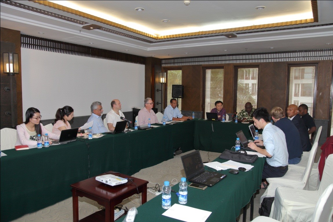
In the framework of the Netherlands Funds-in-Trust at the World Heritage Center of UNESCO, HIST (International Centre on Space Technologies for Natural and Cultural Heritage under the auspices of UNESCO) hosted a Technical Coordination Meeting on East Rennell World Heritage site in danger (Solomon Islands) in Sanya, Hainan Province, China during 1-2 February, 2016.
East Rennell was inscribed onto the World Heritage List in 1998 and inscribed onto the Danger List in 2013 because of logging. The goal of the meeting is to facilitate the efforts of the Government of Solomon Island to conserve the outstanding universal value of its East Rennell Island World Heritage Site (hereafter ERIWHS). The main objectives of the meeting were: (1) use satellite images and allied data management tools to understand the nature and extent of forest cover changes in and outside of the ERIWHS since its inscription on the World Heritage List in 1998; (2) establish a land cover classification system for the whole of the East Rennell Island for 2014-2015 as a baseline for monitoring future changes in forest cover in and outside of the ERIWHS; (3) make recommendations to the UNESCO World Heritage Centre on the future of the conservation, monitoring and sustainable development of the ERIWHS for inclusion in its report on the state of conservation of ERIWHS to the 40th session of the World Heritage Committee scheduled to be convened in Istanbul, Turkey from 10 to 20 July 2016.
Participating in the meeting were representatives of UNESCO World Heritage Center, the Government of Solomon Islands and East Rennell World Heritage Site in Danger, and experts from UK,France, Australia and China.
Mr. Hong Tianhua, Executive Deputy Director & Secretary-General of HIST chaired the meeting. Robert Casier from UNESCO World Heritage Center made a presentation on the current state of conservation of the site and the challenges it is facing, and conditions for removal from the Danger List. Mr. Tia Masolo, Deputy Director of the Environment Division of Solomon Islands Ministry of Environment, Climate Change and Meteorology, made a presentation on the way of protection status, existing problems and challenges, and commitment of the government to keep development activities away from the site. Dr. Wang Mengmeng of The Aerospace Information Research Institute (AIR) of the Chinese Academy of Sciences reported on using a series of multi-source satellite data of East Rennell’s forest cover for the period 2000-2015, and used a full set of appropriate high resolution images for the East Rennell of 2015 to establish baseline status for key parameters such as forest cover and land use in areas outside the World Heritage site, the content of which reflect the change of the island forest degradation, road construction etc in the past 15 years. Space Technology Expert Mr. Andrew Bell from UK made a presentation on buffer zone and its link with East Rennell. Tourism Expert Mr. Tony Charters from Australia made a presentation on eco-tourism investment strategies. After the reports, Hong Tianhua and HIST Visiting Professor N. Ishwaran led an in-depth discussion on deforestation, infrastructure construction, mining, invasive species, ecological tourism and so on and yielded very productive results which will be a base for a summary report to be submitted to the UNESCO World Heritage Center in March.
East Rennell makes up the southern third of Rennell Island, the southernmost island in the Solomon Island group in the western Pacific. Rennell, 86 km long * 15 km wide, is the largest raised coral atoll in the world. The site includes approximately 37,000 ha and a marine area extending 3 nautical miles to sea. A major feature of the island is Lake Tegano, which was the former lagoon on the atoll. The lake, the largest in the insular Pacific (15,500 ha), is brackish and contains many rugged limestone islands and endemic species. Rennell is mostly covered with dense forest, with a canopy averaging 20 m in height. Combined with the strong climatic effects of frequent cyclones, the site is a true natural laboratory for scientific study. The site was inscribed in the danger list in 37th World Heritage Committee.

Discussion
Group Photo at Sanya Campus of AIR Satellite Receiving Station
Visit to an antenna of the Sanya Campus of AIR Satellite Receiving Station
