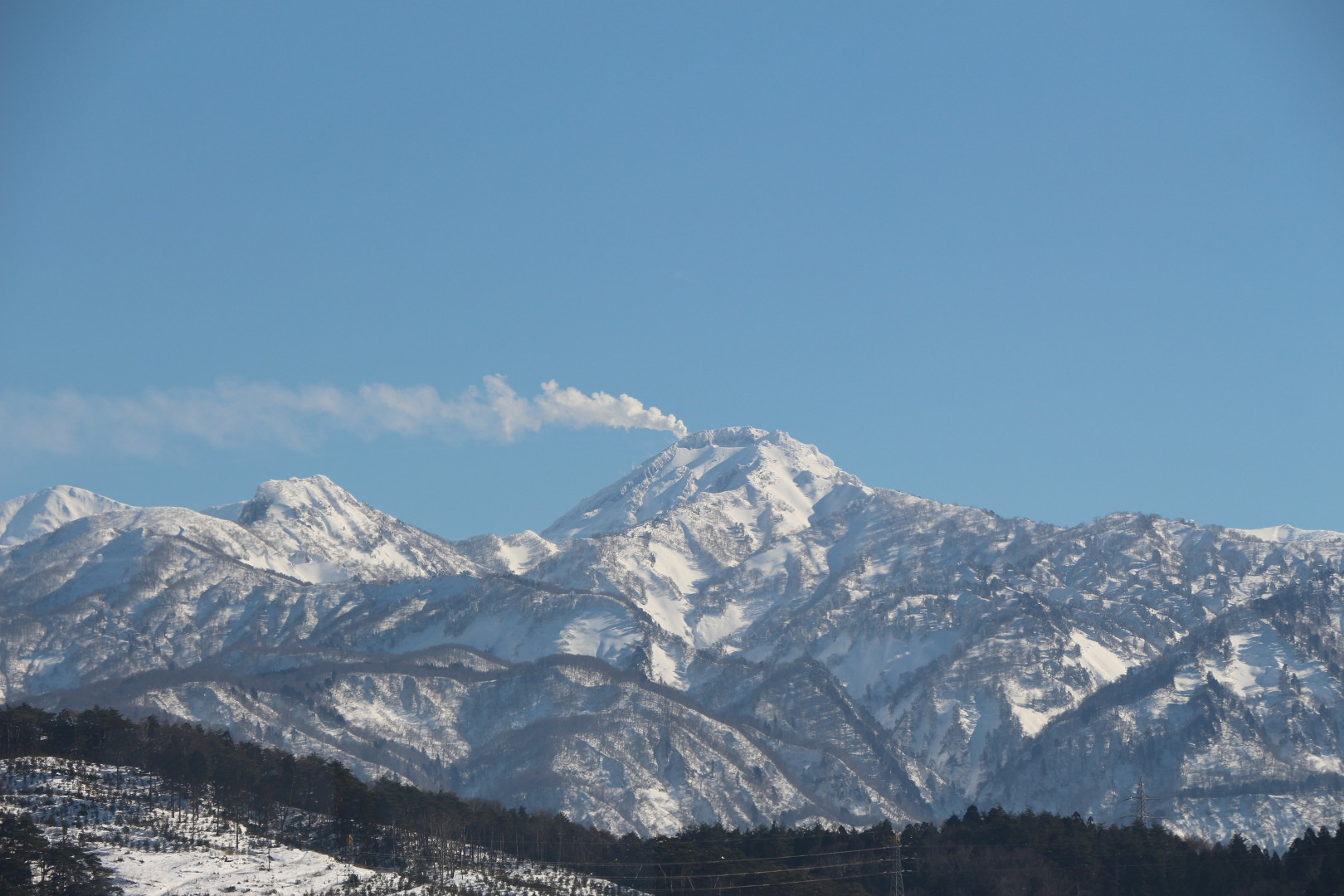
Itoigawa UNESCO Global Geopark is located atop a massive fault line. This location, straddling the border between the Eurasian and North American continental plates, is the reason for Itoigawa Geopark’s extreme topography, where mountains nearly 3000 meters in height plunge into the Sea of Japan.
Many of these mountains are volcanic in origin, formed of andesite, granite, porphyrite, diorite and other rocks. The youngest of these volcanoes is Mt. Yakeyama (2400 m). Born only about 3000 years ago, Mt. Yakeyama remains active to this day. Its last magma and pyroclastic flow producing eruption occurred about 300 years ago, but it has continued to produce smaller eruption events and steam explosions since then. In 1974, a phreatic eruption (steam-blast eruption) launched volcanic bombs and ash, killing 3 university students conducting field research on the mountain. The mountain experienced another phreatic eruption in 1983, but has mostly remained quiet since.

Steam production on Mt. Yakeyama has increased since Late 2015
Starting in Late 2015, Mt. Yakeyama has seen an increase in steam production, with steam occasionally seen stretching across the sky far to the east of the peak. Since the beginning of May, observation equipment has detected an increasing number of volcanic earthquakes and slight bulging of the Earth’s crust at Mt. Yakeyama, suggesting the movement of magma beneath the volcano. In response to this sudden increase in activity, the Itoigawa UNESCO Global Geopark has cooperated with local governments in closing the peak to hikers and climbers. Those wishing to hike within 2 kilometers of the peak must submit a formal climbing plan and access to the area within 1 kilometer of the peak is strictly forbidden. The Geopark has also worked with the City of Itoigawa in producing a volcano hazard map and guide to instruct local residents about the possible hazards.
Volcano Hazard Map for Mt. Yakeyama
The map shows the expected paths of pyroclastic flow, lahar and volcanic bombs. It also serves as a fundamental guide for disaster readiness, including tips on how to prepare for the event of an eruption.
In the exceptionally seismically active Japanese Islands, Geoparks serve an important role in educating the public about disaster preparedness and hazard reduction. The Itoigawa UNESCO Global Geopark continues to include this.
